Project Description
Flood Mapping using 2D Modeling Tools
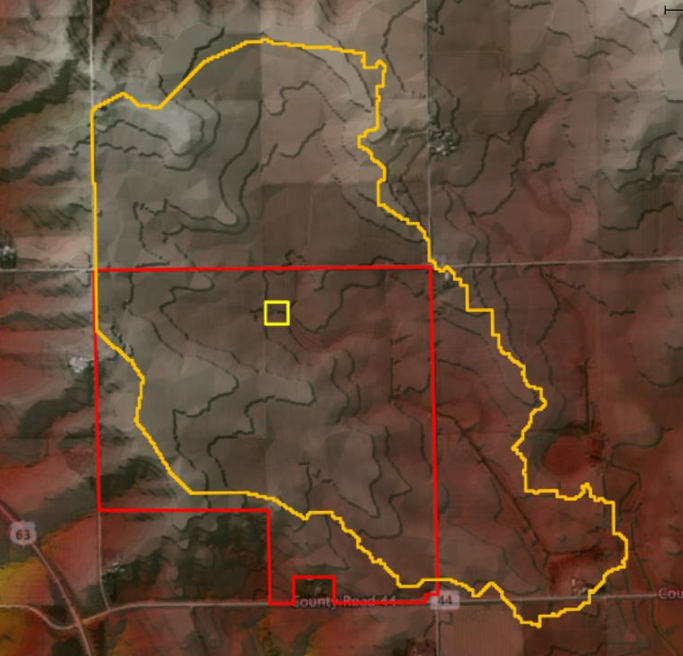
Name & Location – Filmore County, Minnesota
Short Description:
This project included the hydrological and hydraulic study of nearly two square miles in area and the production of flood maps for its conveyance system. Two-dimensional modeling tools were used to determine the depth of flooding and limits of floodplains for different storm events. Flood Maps, Velocity Maps and Erosion Potential Maps were developed and submitted to be used in area development decision matrix.
Following services for this project were provided:
- H&H modeling using two-dimensional modeling tools
- Mapping (flood, velocity and sedimentation potential)
- Report Generation